Cathy

The Beauty of Vancouver BC

Our recent adventure took us to one of the most beautiful places we have ever seen, Vancouver, BC!  Besides being a beautiful place it is also the new home to my youngest son.  It’s the farthest we have traveled in quite some time.  Between Covid shutting everything down and caring for my Mom for the last 4 years, we have not been able to travel very far from our home.

Getting there

Our flight from North Carolina to Seattle was about 5 1/2 hours long(it was cheaper to fly into Seattle than Vancouver).  I really enjoyed looking down on the mountain ranges of Montana, Utah, and Washington.
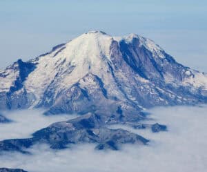
Mt. Rainier as seen from our plane

We rented a car at the airport and drove the 3 hours to our Airbnb in North Vancouver.

It was a nice drive! We were able to see the Seattle skyline from the highway.  My son suggested that we stop in Mt. Vernon, which is about halfway, for lunch.  Mt. Vernon, WA is a very cute town. I highly recommend a stop at the Skagit Valley Coop for all kinds of goodies!
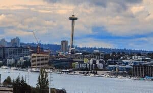
Seattle Skyline

This trip has renewed our sense of adventure and taken us to a very beautiful place!  This was our second trip to Canada.  The first was several years ago when we went to Niagara Falls, Ontario.

 Vancouver BC

Vancouver is a coastal city on the mainland of British Columbia, Canada.  Located about 145 miles north of Seattle, Washington.  The city of Vancouver has a population of over 737,000 and is the 8th largest city in Canada.   Metro Vancouver has over 2,000,000 residents and includes 21 municipalities.
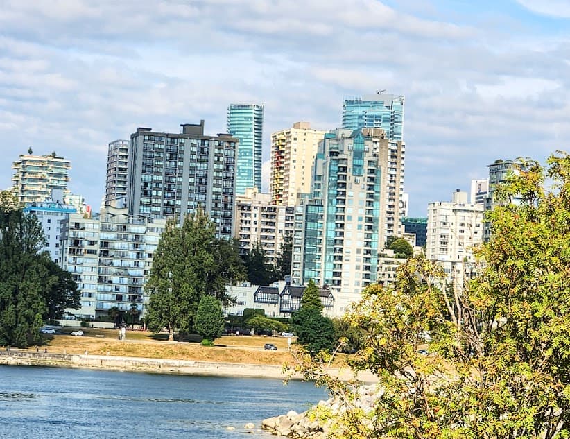
Downtown buildings

Our Airbnb was in North Vancouver.  We also spent time in Kitsilano(neighborhood) and West Vancouver.

FUN FACT:  The city was named after Captain George Vancouver, a British Royal Navy  officer best known for his 1791-1795 expedition, which explored and charted North  America’s northwestern Pacific Coast regions, including the coast of what are now the  U.S. states of Alaska, Washington, Oregon and California.

History of Vancouver

The Indigenous settlement of Vancouver began more than 8,000 years ago and included the Squamish, Musqueam and Tsleil-Waututh(Burrard) peoples.  The first modern city was orginally named Gastown and grew around the site of a tavern near Hastings Mill, built in 1867 and owned by “Gassy Jack”**.  It was formally renamed “Granville” by the colonial Government in 1870 in honor of the British Secretary of State for the colonies, Lord Granville.

**John Deighton was better known as “Gassy Jack”,  he was a tavern owner in British Columbia.  The Gastown neighborhood of Vancouver got it’s name from him.  He build his tavern on the south side of Burrard Inlet at the request of his friend, Captain Edward Stamp, the owner of Hastings Mill.  Most of his patrons were sailors and workers from the nearby sawmill.**

The city was renamed “Vancouver” in 1886 through a deal with the Canadian Pacific Railway.  The Canadian Pacific Transcontinental railway was extended to the city in 1887.
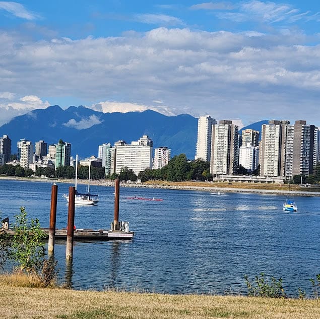
English Bay

Geography

The city of Vancouver is located on the Burrard Peninsula. It is surrounded by water on three sides.

The Burrard Inlet borders the city to the North, Fraser River to the South, and the Strait of Georgia to the West.  The Pacific Ocean lies beyond Vancouver Island.

The city is divided into 4 sides(like most cities), East and South Vancouver on the Southside of the Lion’s gate bridge and West and North Vancouver over the bridge to the North.  The Lion’s gate bridge is Hwy 99 and crosses the Burrard Inlet and Vancouver harbor.

In every side of the city you will find great restaurants, beautiful parks,  nature, and amazing mountain views.
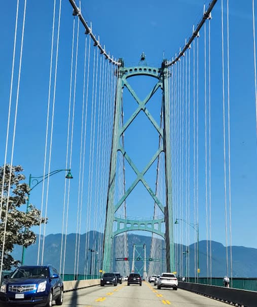
Lion’s Gate Bridge

NOTE:  The Lion’s gate bridge gets bogged down several times a day.  It’s best to keep your timing flexible.

One of the first things we did was to take a drive up Cypress Mountain.  Cypress Mountain is a ski area in West Vancouver, located just 30 minutes from downtown Vancouver.   It has 53 named alpine ski runs and 11 miles of cross country trails.

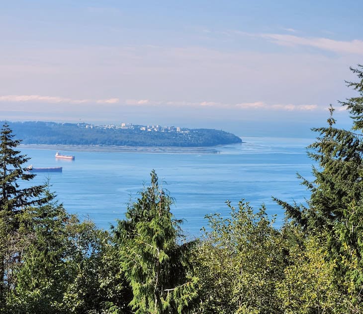
We took the drive up the mountain to see the great views of Vancouver!
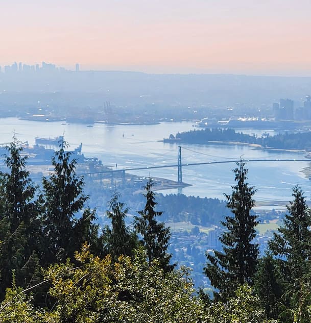
Cypress Mountain view

Beautiful things to see

  • West Vancouver Centennial Seawalk
  • Dundarave Park
  • Cypress Mountain
  • Sea to Sky Highway
  • Squamish
  • Shannon Falls
  • Cleveland Dam
  • Capilano Lake
  • Grouse Mountain
  • Kitsilano Beach
  • Stanley Park

The Beauty of Vancouver BC Read More »

Lighthouses of Lake Superior and the Apostle Islands

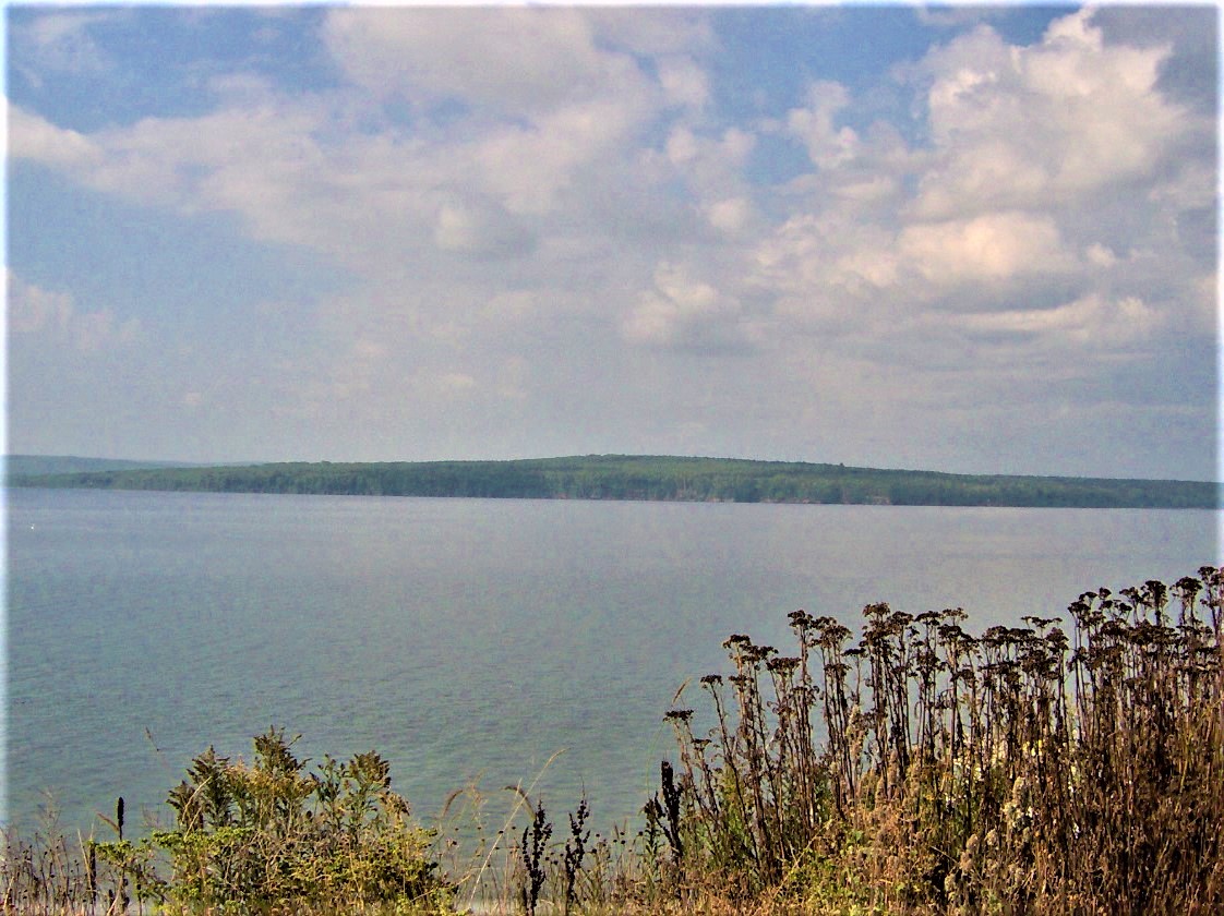
Lake Superior is the largest of the five Great Lakes and is home to 78 lighthouses! Three states border Lake Superior; Minnesota, Wisconsin, and Michigan. Canada also borders the lake to the North.

The Great Lakes fascinate me! I have seen 3 out of five, and plan on seeing the last 2 someday soon! Lake Superior is the largest of the five Great Lakes and is the World’s largest freshwater lake by surface area. The southern shore is known as the “Graveyard of the Great Lakes”. There have been more shipwrecks in the Whitefish Point area than in any other area in Lake Superior. You may want to visit the Great Lakes Shipwreck Museum

FUN FACT: The Ojibwe name for the lake is Gichigami or Gitchigumee which means “Great Sea”.

Wisconsin Lighthouses

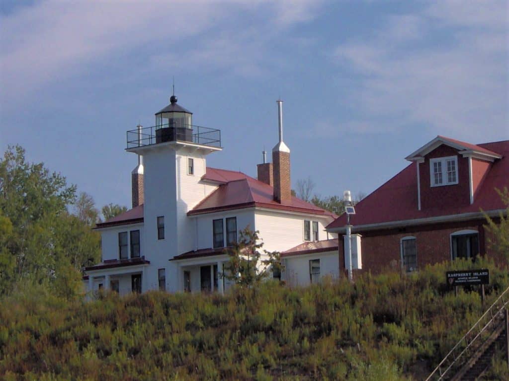
The state of Wisconsin has 48 lighthouses. Two-thirds of them are located along the shores of Lake Michigan. For this post, I am concentrating on the 8 lighthouses of the Apostle Islands(Lake Superior), which are located off of Bayfield, Wisconsin.

The Apostle Islands

The Bayfield Peninsula is the northernmost region of mainland Wisconsin and it’s off this point where you will find the Apostle Islands on Lake, Superior. The Apostle Islands are a group of 22 islands, all of the islands, except Madeline Island, are part of the Apostle Islands National Lakeshore. It is believed that the islands were named by a French Historian after the 12 Apostles of the Bible. We don’t know whether he could not count well, or that he only counted the 12 largest islands.

*If you would like to receive our Travel Newsletters directly to your inbox, please sign up HERE. You will also receive information on great travel destinations in each state!*

Lighthouses of Lake Superior and the Apostle Islands Read More »

Things to do in Vinton VA

The state of Virginia is very diverse. You have the Blue Ridge Mountains in the Southwest portion of the state and Virginia Beach on the Eastern Coast. We have been exploring our neighboring state for the last year. My favorite part of the state, so far, is the Roanoke area surrounded by the Blue Ridge Mountains. The lesser-known town of Vinton, Virginia, is a suburb of Roanoke.

The Town’s new motto is; ARE YOU IN? Town of VINton.

Vinton, VA
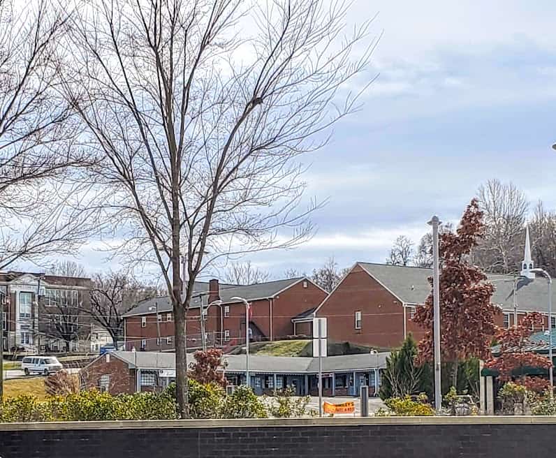
Downtown Vinton, VA

History of Vinton, VA

In 1797 the Gish Family moved into the area and established a gristmill on Glade Creek. The area was known as Gish’s Mill. When the railroad expanded into the Roanoke Valley, Gish’s Mill became a stop for the Atlantic, Mississippi, and Ohio Railroad. In the late 1870s, the Gish family led a movement to establish a town around the train depot site. In 1884 this area was incorporated as the town of Vinton.

Things to do in Vinton VA Read More »

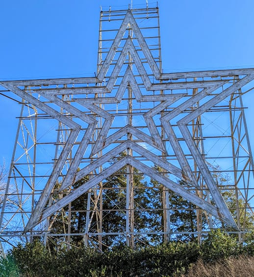
Roanoke Star

Things to see in Roanoke VA

The city of Roanoke, Virginia, is located in the Blue Ridge Mountains in the southwestern part of the state. For us, it’s become one of our favorite getaways! Roanoke is only about a 2 1/2 hour drive from our home in North Carolina. What is there to see In Roanoke VA?

Besides the beautiful location, you will find great entertainment, restaurants, and outdoor recreation! It’s also known for the Roanoke Star which is located on Mill Mountain.

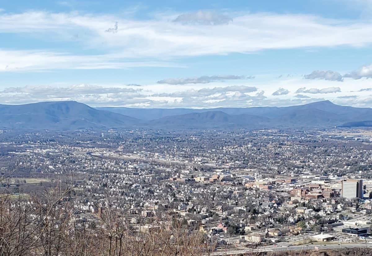
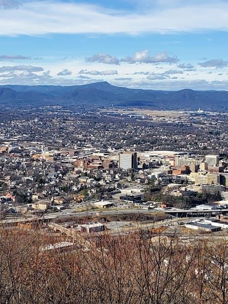
After taking the drive to the top of Mill Mountain, you will have a breathtaking view of the city below.

City of Roanoke

FUN FACT: The word Roanoke came from the Indian word “Rawrenrock” a name for the shell beads worn by the Indians and used for trading.

History of Roanoke, Virginia

The city is also known as the “Capital of the Blue Ridge” and a crossroads for the railroad. The city began in the 1740s. Mark Evans and Tasker Tosh came from Pennsylvania to stake a claim on land near the salt licks. For generations, the salt licks and marshes were gathering places for buffalo, elk, and deer. It’s also where many Native Americans hunted. The first village in the Roanoke Valley was started here in 1834 and was named Gainsborough. The town was also known as Big Lick named after the salt licks in the area.

Roanoke County was formed in 1838 with a county population of about 5,000. The town of Salem and the community of Vinton soon grew and were connected to Big Lick by a narrow brick road.

The railroad came to the valley in 1852 but missed Big Lick, so the town center was moved closer to the tracks and was renamed Roanoke for the river and county. The original town became Old Lick.

The Magic City

Why was Roanoke Called the Magic City? Employees were needed to maintain the coal trains going to and from Norfolk, so the railroad built the Roanoke Shops. They provided good pay and steady employment for skilled workers which attracted many people to Roanoke. The city got the name Magic City because it was the fastest-growing urban area in the South from 1880 to 1890.

Things to see in Roanoke

  • Mill Mountain Park
  • Mill Mountain Zoo
  • Roanoke Star(Mill Mountain Star)
  • The Blue Ridge Parkway
  • Roanoke County Explore Park
  • Virginia Museum of Transportation
  • Taubman Museum of Art
  • Downtown Roanoke

**To sign up for our newsletters, please click HERE. You will receive great travel destinations, information on small towns across the US, and campground reviews directly to your inbox!**

Things to see in Roanoke VA Read More »